Punta Cana is the far eastern tip of the Dominican Republic, on the island of Hispaniola, where the Caribbean Sea meets the Atlantic. That is the one-line answer. The useful answer is about what sits around it.
"Punta Cana" is used for the whole resort coast: Bávaro, Cap Cana, Uvero Alto and Macao are all marketed under the name, and they are not next to each other. The capital and the rest of the country are a real drive away.
Here is the geography, the neighbouring areas, the airport, and the distances that matter when you plan excursions.
Punta Cana on the map
How far is Punta Cana from you?
Punta Cana is one of the easiest Caribbean destinations to reach because so many flights go non-stop. Typical flight times:
- Miami – about 2 hours
- New York – about 4 hours
- Toronto – about 4½ hours
- Chicago – about 4½ hours
- London – about 9 hours
- Madrid – about 9 hours
Punta Cana is on Atlantic Standard Time (UTC−4) all year and does not change clocks for daylight saving, so it matches US Eastern time in summer and is one hour ahead in winter.
Geographic Location of Punta Cana
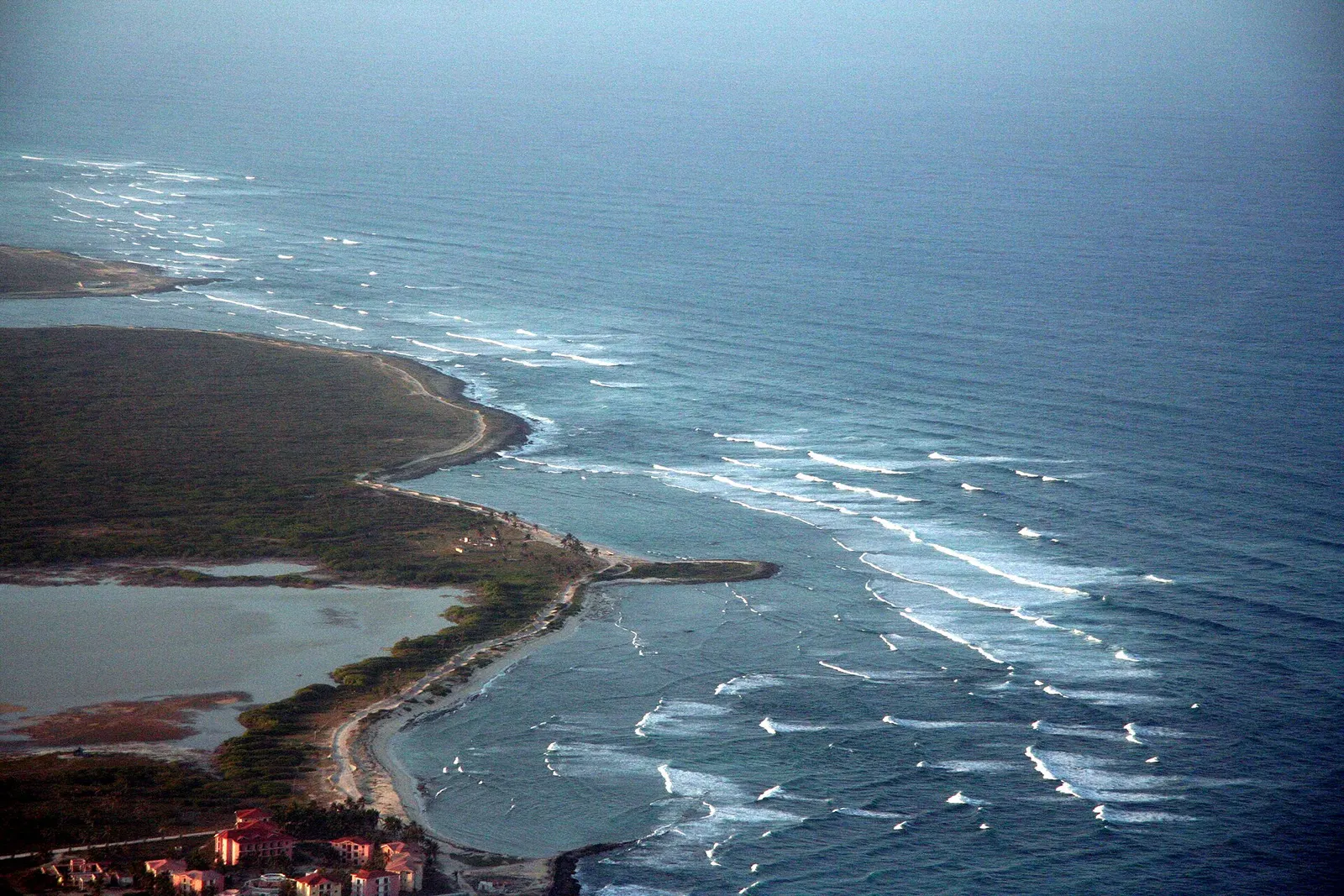
Punta Cana is a resort town on the extreme eastern tip of the Dominican Republic, located in La Altagracia Province. The region sits on the island of Hispaniola, which it shares with Haiti. Punta Cana is unique because it borders both the Caribbean Sea to the south and the Atlantic Ocean to the east, giving it diverse coastal scenery.- Coordinates: 18.5601° N, 68.3725° W
- Province: La Altagracia
- Island: Hispaniola
- Country: Dominican Republic
Nearby Towns and Regions
Punta Cana is surrounded by several notable areas that are worth knowing for travel planning:- Bávaro: About 20 km (12 mi) north of Punta Cana village and the airport, Bávaro is home to many beaches, resorts, and tourist facilities.
- Cap Cana: Southeast of Punta Cana, this luxury resort area offers high-end villas, golf courses, and marinas.
- Uvero Alto: A quieter beach area north of Punta Cana, perfect for those seeking relaxation away from crowds.
- Macao Beach: Known for surfing and its natural beauty, located north of the main resort zone.
- Santo Domingo: The capital city, approximately 120 miles (194 km) west, offers a rich cultural and historical experience.
- La Romana: A city about 47 miles (75 km) away, famous for resorts and Altos de Chavón.
- Higüey: The province capital, around 45–60 minutes from Punta Cana, known for its basilica.
Transportation and Airport
Punta Cana International Airport (PUJ) is the main gateway for international travelers. It is one of the busiest airports in the Caribbean, handling direct flights from:- United States: New York, Miami, Atlanta, Boston
- Canada: Toronto, Montreal
- Europe: London, Madrid, Frankfurt
- Latin America: Panama City, Bogotá
Beaches and Resort Areas
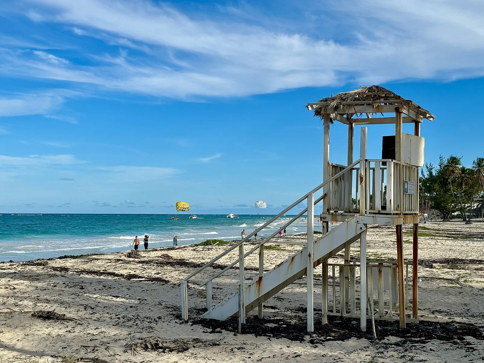
Punta Cana is famous for its white sand beaches and turquoise waters, which stretch along roughly 48 km (30 mi) of coastline. Some must-visit beaches include:- Bávaro Beach: Perfect for swimming, sunbathing, and water sports.
- Macao Beach: A favorite for surfing and local charm.
- Arena Gorda: Known for soft sands and calm waters, ideal for families.
- Juanillo Beach: Secluded and scenic, great for photos.
- Uvero Alto: Peaceful and less crowded, perfect for quiet retreats.
Travel Tips for Punta Cana
Planning your visit to Punta Cana? Keep these tips in mind:- Flights: Book early, especially for direct U.S. routes, to get the best deals.
- Transfers: Arrange airport transfers ahead of time to avoid delays.
- Local Currency: The Dominican Peso is the official currency; however, USD is widely accepted in tourist areas.
- Excursions: Consider day trips to Santo Domingo, La Romana, or Higüey for cultural experiences.
- Safety: Punta Cana is generally safe, but always follow common travel precautions.
- Travel Insurance: Recommended for international trips.
FAQs About Punta Cana’s Location
1. Where is Punta Cana located? Punta Cana is on the easternmost tip of the Dominican Republic, in La Altagracia Province, bordering the Caribbean Sea and Atlantic Ocean. 2. How far is Punta Cana from Santo Domingo? Approximately 120 miles (194 km), about a 2.5–3 hour drive. 3. Which airport serves Punta Cana? Punta Cana International Airport (PUJ), one of the busiest in the Caribbean. 4. What are the best beaches near Punta Cana? Bávaro Beach, Macao Beach, Arena Gorda, Juanillo Beach, and Uvero Alto. 5. Are there nearby cities or attractions to visit? Yes. Santo Domingo, La Romana, and Higüey are all within easy reach for day trips.Why Punta Cana is a Top Caribbean Destination
Punta Cana’s location is a major reason for its popularity:- Accessibility: Direct flights from North America and Europe make it easy to reach.
- Diverse Coastline: Beaches on both the Caribbean and Atlantic sides offer different experiences.
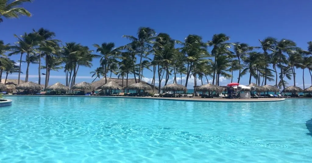
- Tourist Infrastructure: Resorts, excursions, water sports, and luxury amenities cater to all types of travelers.
- Natural Beauty: Lush landscapes, turquoise waters, and tropical climate create the perfect vacation backdrop.